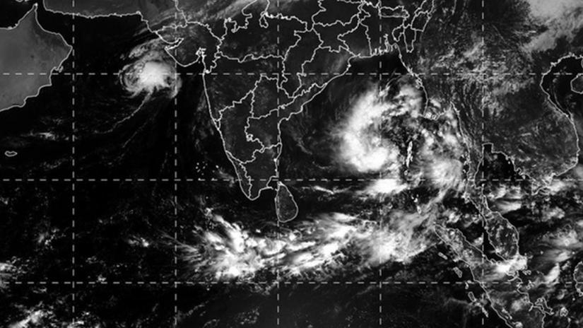
 Bangladesh Meteorological Department has advised maritime ports to hoist distant warning signal No. 2 as the deep depression over the Bay of Bengal has intensified into cyclonic storm 'Bulbul'.
The storm system over east-central Bay is moving north-northwestwards and was centred about 930km south-southwest of Chattogram port at 6am on Thursday (Nov 7), according to the Met Office.
"Maximum sustained wind speed within 54 km of the cyclone centre is about 62 km per hour rising to 88 kph in gusts/squalls. Sea will remain very rough near the cyclone centre," reads the latest cyclone bulletin.
Fishing boats and trawlers over North Bay and deep sea have been told to come close to the coast and proceed with caution until further notice.
The effects of Cyclone Bulbul will be seen in the coastal areas of Bangladesh, West Bengal, and adjoining north Odisha of India.
It may turn into a severe cyclonic storm by the evening, packing maximum winds of 90-110 km per hour, says the India Met office.
It's is likely to move across the Bay into Odissa, West Bengal and south-west Bangladesh on Nov 11, according to Indian meteorologists.
The cyclones in the Asia-Pacific region are named from a list prepared by the meteorological offices in eight countries of the region. The name 'Bulbul' has been proposed by Pakistan.


